Maps
Official
These maps show the layout of the University of Melbourne buildings and are available on the official website.
Interactive
The university provides an interactive map that is linked to by other parts of the website such as student timetables.
Downloadable
The university also provides downloadable maps in PDF format. These are not interactive but can be useful for offline use.
- Parkville PDF arrow_right_alt
- Student Accommodation PDF arrow_right_alt
- Microwave Map arrow_right_alt
Edited
Digital maps have been converted into images for quick offline use and specific needs. Some maps have annotations or descriptions to aid navigation.
Essential Downloads
Masson Road
This quite an important road because many lectures happen in B117 of the Glynn Davis Building and it's close to Monash Road.
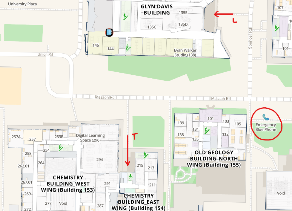
To access the all gender toilets T, enter the Chemistry Building East Wing and take the lift or stairs to Level 1.
You can enter the Glynn Davis Building from Spencer Road and take the stairs to the basement. You will find the B117 lecture hall L at the end of the corridor. There is also an alternate set of stairs to B117 via the northern side of the building.
There is also an emergency phone?
Monash Road
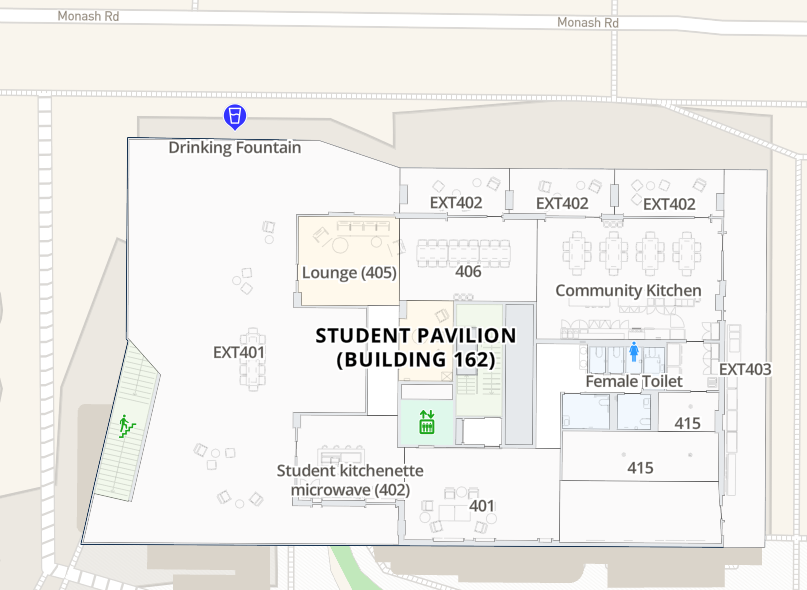
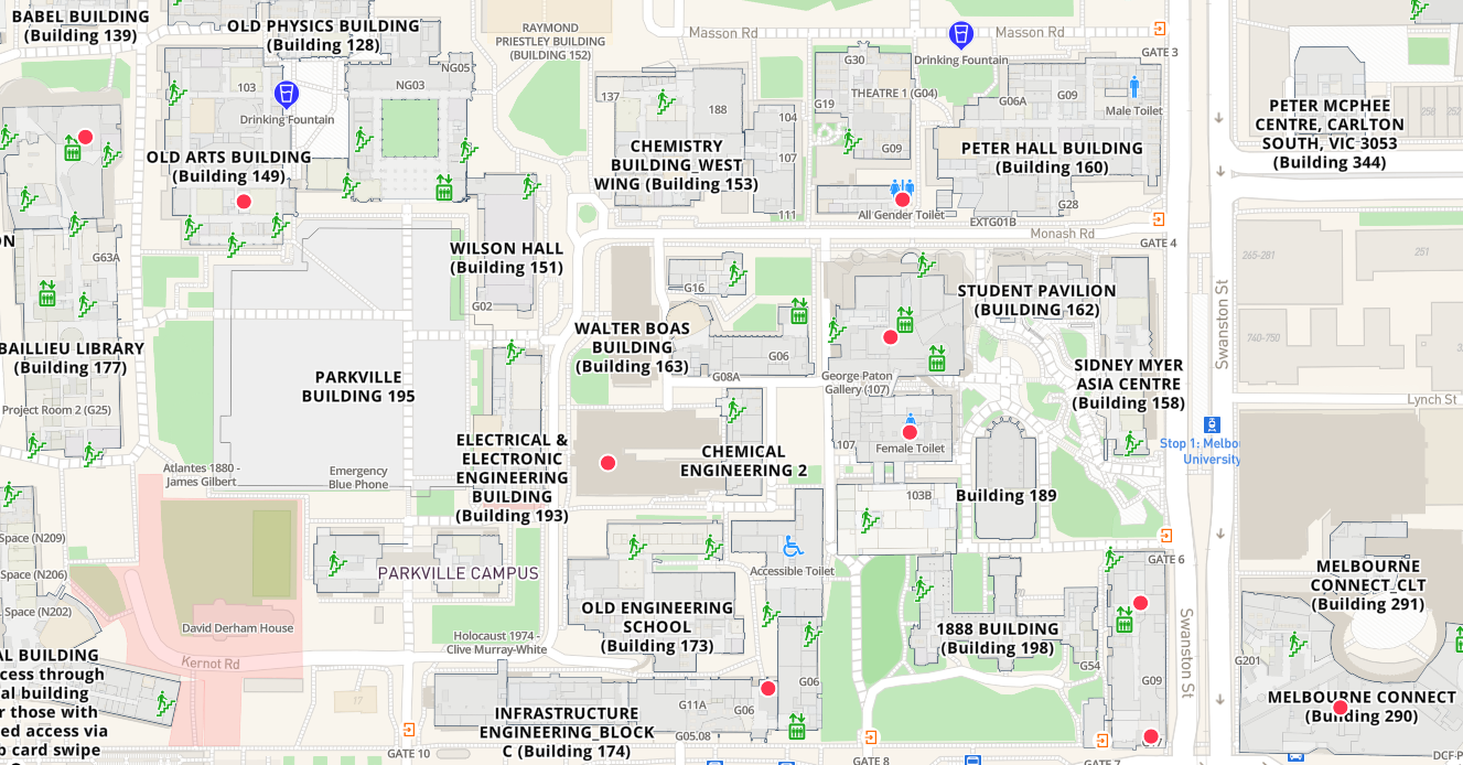
This is a busy connecting to the Swanston Street tram stop. It is also close to the Student Pavilion or Building 162.
The microwaves are located at Level 4 of the Student Pavilion. I spent a good hour trying to find a microwave on the campus.